
Mapping the seabed from a drone - A new kind of coastal scanning
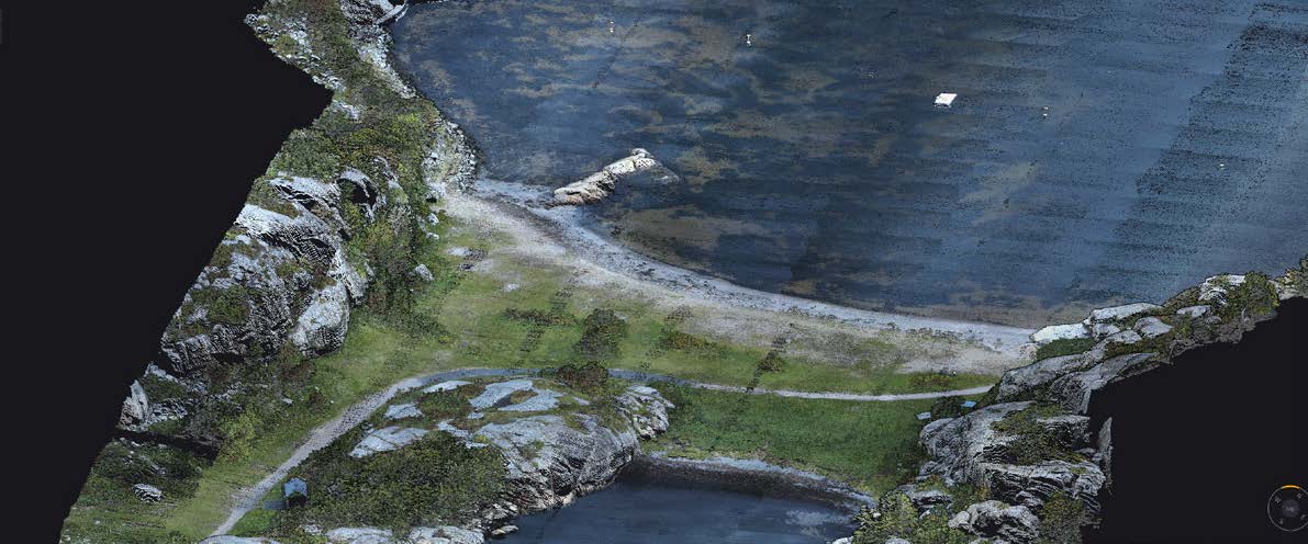
Bathymetric LiDAR is a way of measuring what's under the water without touching it. A drone flies overhead, a green laser fires down through the surface, and the return signal is turned into a 3D model of the bottom. No boat, no sonar, no one in the water.
A lot of the seafloor near our coast is invisible to conventional aerial mapping work. Too shallow for a proper hydrographic vessel, too turbid or too remote for divers (not to mention the things that go chomp in murky water 🐊) and often too dynamic to be worth mapping the same way twice. We’re talking bout reefs, tidal channels, port approaches, seagrass beds, mangrove creek systems.
Bathymetric LiDAR is a way of measuring what's under the water without touching it. A drone flies overhead, a green laser fires down through the surface, and the return signal is turned into a 3D model of the bottom. No boat, no sonar, no one in the water. This technology is relatively new to the drone world - previously involving chartering a special aircraft to do the mapping from the sky at a massive expensive and lesser accuracy.
How it works
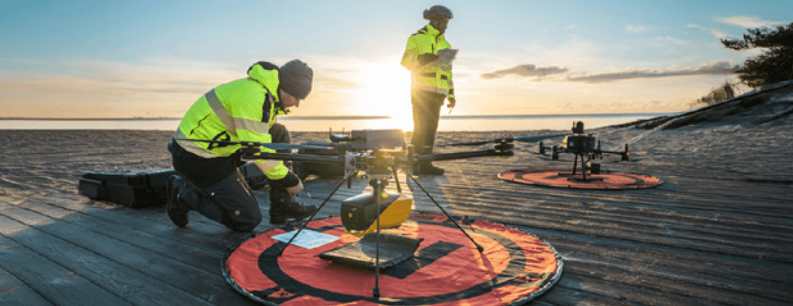
A bathymetric sensor fires a green laser, straight down from the aircraft. Green sits in the narrow wavelength window water lets through, which is why it works where standard LiDAR doesn't - the infrared used for terrain and construction mapping is absorbed at the water surface and never reaches the bottom.
The pulse passes through the surface, travels down through the water column, reflects off the seabed, and returns to the sensor. The instrument times the round trip and converts it to depth. Some systems fire both green and infrared at once - the infrared marks the top of the water, the green finds the bottom, and the gap between them is the depth.
Two things need correcting for the raw data to be accurate. Water bends light at the surface, so the seabed isn't quite where a straight line says it is. And light moves slower through water than through air, so a straight time-to-distance conversion overestimates every depth. Processing software applies both corrections automatically, and the result is a survey-accurate model of the seabed.
A little about water clarity
The practical range of depth to scan is set by water clarity, not laser power. A working rule of thumb is around three Secchi depths - the depth at which a white disk disappears from view. Clear tropical water can yield over ten metres of penetration. Turbid coastal water might give you a metre or two. Stir up the sediment and the pulse never reaches the bottom.
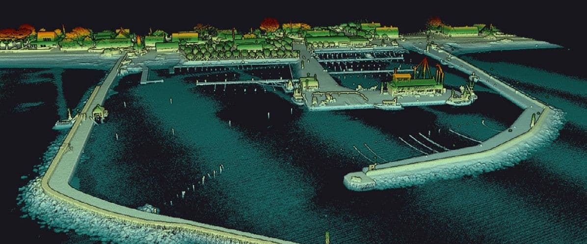
Sonar still does the deep, murky, offshore work. Bathymetric LiDAR fits the shallow, clear, nearshore band that boats can't easily reach and satellites can't resolve. It also captures land and seabed in one pass, so you get a continuous model across the shoreline instead of two datasets stitched together at the tide line.
Where it fits in Far North Queensland
There's a lot of coastline up here this technology is suited to, and a lot of work that doesn't get done at the moment because standard survey methods don't reach it.
Reef flats and back-reef lagoons in clear tropical water are the exact conditions bathymetric LiDAR was designed for. Seagrass beds, coastal habitat baselines, and repeatable post-event surveys after cyclones or major flood plumes all sit in the same window. Research projects that need continuous, comparable data across seasons or years benefit particularly - a boat-based survey of the same site is slow, expensive, and never quite covers the same ground twice.
Port approaches and channels are another. Cairns and the smaller regional ports along the coast all deal with channels that shift through the wet season and reshape after cyclones. Beach and foreshore erosion is an obvious fit too - continuous coverage from the dune line down to whatever depth clarity allows, captured in one pass.
The remote work is where it gets interesting. A lot of Cape York and Torres Strait infrastructure sits close to water that's rarely surveyed. Barge landings, jetties, creek mouths, causeways, community boat ramps. Getting a hydrographic vessel to those locations is expensive and slow. A drone-mounted sensor doesn't need a boat ramp, doesn't need days of calm weather, and can cover ground fast when the window opens.
The about cost
A working system is a very significant investment, plus software processing licences and training on top. That's not equipment that anyone would buy on a whim.
If bathymetric LiDAR comes into the TDM fleet, it will be on the back of a grant or a partner-funded project with a real need attached to it.
If you're working on something that could use this kind of data - research, port infrastructure, coastal monitoring, waterway management - get in touch. Conversations about actual projects are what shape whether this makes sense as a service up here.